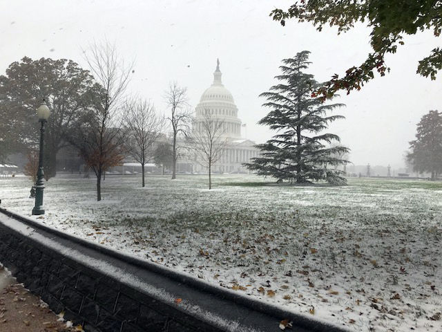
WORST NOVEMBER STORM IN HISTORY
 |
| was right |
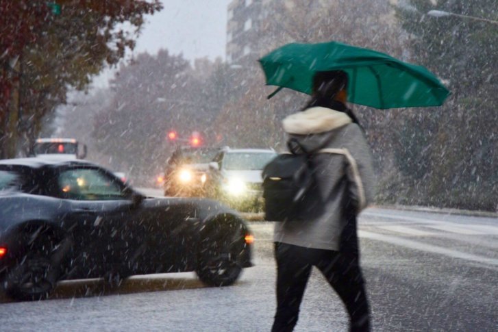
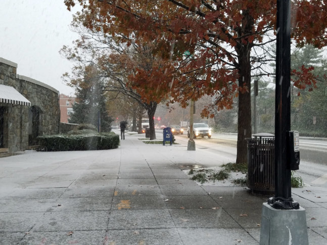
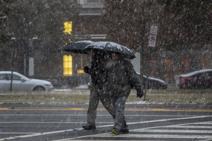
WASHINGTON — Here’s the part where we tell you what you already know: Thursday had far messier weather than people expected. And many thought forecasters dropped the (snow)ball when it came to warning people how treacherous things were going to be.
But NBC Washington Storm Team4 meteorologists (WTOP’s news partners) weren’t wrong and had been sounding the alarm about how bad conditions could get.
“We’ve been talking about this for a week or so. I had it in my forecast over the weekend,” meteorologist Lauryn Ricketts told WTOP. “The thing is … did this storm over-perform? Yes it did. A little bit more cold air was around, so we had a little bit more snow — we still saw the wintry mix.”
That wintry mix started between 3 a.m. and 7 a.m., which was when it had been predicted to kick off.
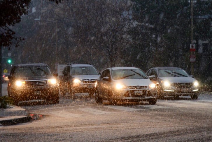
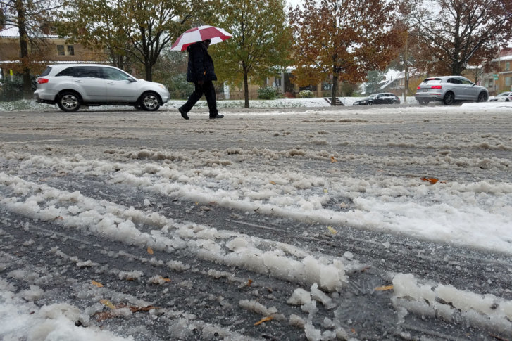
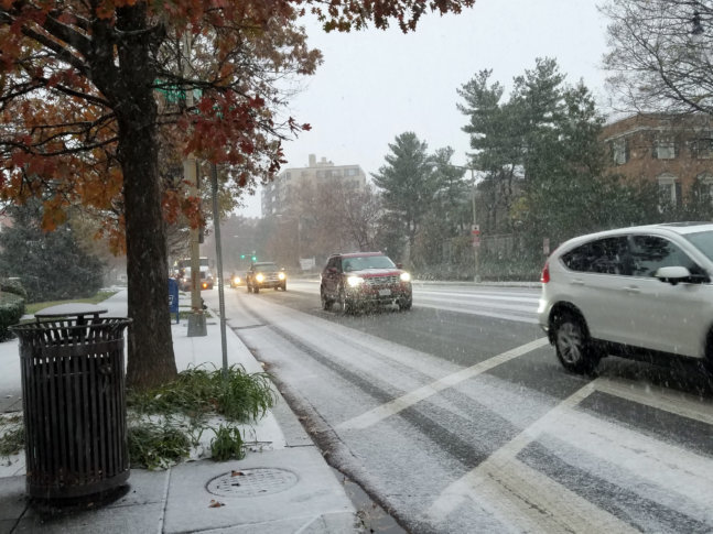
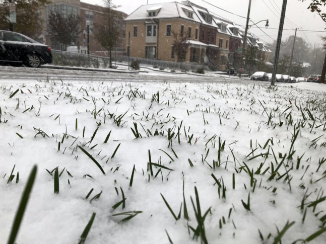
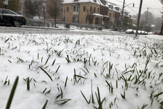
What wasn’t fully anticipated was how much snow would stick to roads in the region, despite major traffic arteries being pre-treated.
On Twitter, Storm Team4 Meteorologist Doug Kammerer said, “(T)emps were 1 to 2 degrees cooler than predicted, meaning more of the snow able to stick on sidewalks and roads. We
talked about this last night, but amazing to me just how cold we got. Wow!”
Temperatures dropped below the freezing mark for almost the entire D.C. area, Ricketts told WTOP.
The weather being just slightly colder allowed more snow to accumulate, snow rates were higher than expected and it all came together during the heart of the morning rush-hour commute.
“Maybe we got it wrong on that, because the snow rates were a little bit higher than expected, but we still got 1 to 2 inches pretty much where we said it was going to be,” Ricketts said. “So maybe just a little bit more snow that caught people by surprise, especially on area roadways.”
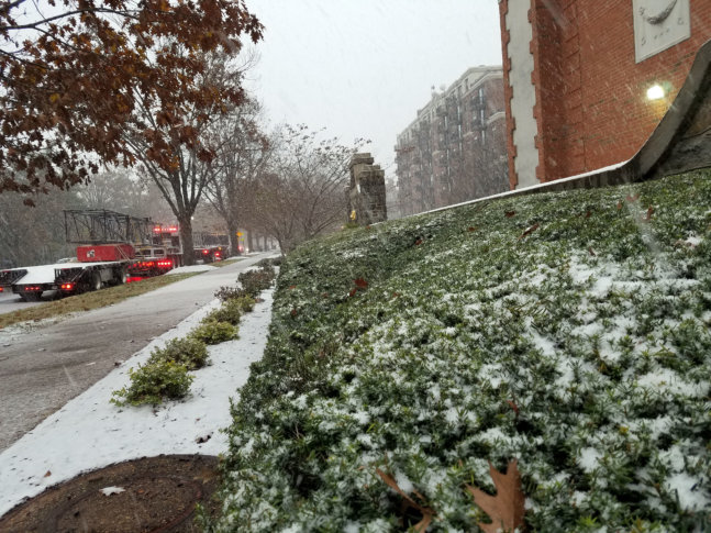
Driving conditions did not help the situation. Virginia Department of Transportation and the Maryland Department of Transportation pre-treated roads in the hours before the snow fell. Many WTOP listeners submitted photos of snow-covered side streets.
“I think that’s something we probably all need to get better at — communicating with VDOT, with local governments (on) exactly what to expect,” Ricketts said.
Another issue? Winter forecasting is tough.
“Especially when we have any warm air and it’s not just going to be straight snow,” she explained. “We know that around here. It happens every year a couple of times around winter that we get these wintry-mix events. And they’re very difficult to forecast because you don’t know where that warm air is going to set up, you don’t know where that cold air is going to set up.”
Steven Zubrick, science operations officer with the NWS weather forecast office covering the Baltimore-Washington area, backs Ricketts up.
“This is a fairly early season winter event for us and those are always challenging,” Zubrick told WTOP. “Doesn’t take much in terms of temperatures — either at the surface or aloft — to cause a change in precipitation type from, say, rain to sleet to snow. These can be very minor temperature changes.”
According to Zubrick, the NWS gave residents and transportation officials a range of weather possibilities for Thursday.
“That range essentially went from … little or no accumulation in the D.C. area” to what people are seeing Thursday, with areas to the north and west getting hit harder, Zubrick explained.
“The other thing that happens with the storm system is you get periods of intense snowfall or precipitation, and that chills the whole atmospheric column down to, essentially, the freezing point throughout an entire layer,” Zubrick said.
The end result? Say hello to snow. And it can all change given just a couple of degrees in either direction.
“It’s very challenging to predict that, especially in the early season, to predict that it’s going to be just above freezing,” Zubrick said.
Still, Ricketts understands people’s annoyance.
No comments:
Post a Comment